Sunday, November 17, 2024

November 17, 2024 Bear Canyon Suspension Bridge

 Suspension Bridge Loop

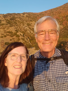
hikers:  Mark and Lecia

length: 2.3 miles

elevation gain: 439

This is the first time this year that we have hiked up to the suspension bridge. 

We started hiking up the trail from the Orson Smith Park.


Then we hiked along the aquaduct trail, which was a flat trail more like a road.


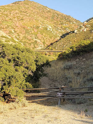
Look up the mountain side and that's where we are going.


The trail takes you past some houses.  You have a view of the valley and also of some backyards.

  Then we went up Ralph's trail to the bridge.  Ralph's trail is a steep trail.  


There's the bridge.


There's the view looking down from the center of the bridge.  You feel the vibrations when others are on it, especially bikes.  It sways in the wind.  


This is near the bridge.  I really do appreciate the people that donated, time, money, their skills, and heart so that we have this bridge and trail.  

You can go up further to the old bridge, which is a small bridge and a nice addition to the hike, but this time we did not do that.  After crossing the bridge we came down the trail on the other side and completed the loop.


The bridge is part of the Bonneville Shoreline Trail and you follow it a ways before turning to complete the loop back to the Orson Smith Park.


This is a pretty portion of the trail and the views of the valley and the setting sun are beautiful.


Sunday, September 29, 2024

September 26, 2024 Mill B South, Big Cottonwood Canyon

 Mill B South

hikers:  Lecia & Mark

length:  .7 miles

elevation gain:  91 feet

type of trail:  paved.  You could take a stroller or wheelchair on it but it is not flat. You are going uphill.

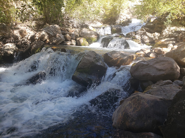
After hiking to Willow Lake we stopped at mill B on our way down the canyon.  We were lucky there was parking in the parking lot. Probably because it was a Thursday! The trail starts at the end of the parking lot that is at the beginning of the s curve.  This is a short paved trail that follows Big Cottonwood Creek.  The water was noisy and beautiful!  

The hike.


It is a paved trail.


The trail is alongside Big Cottonwood Creek.


This is the trail you turn off on to go to Lake Blanche.


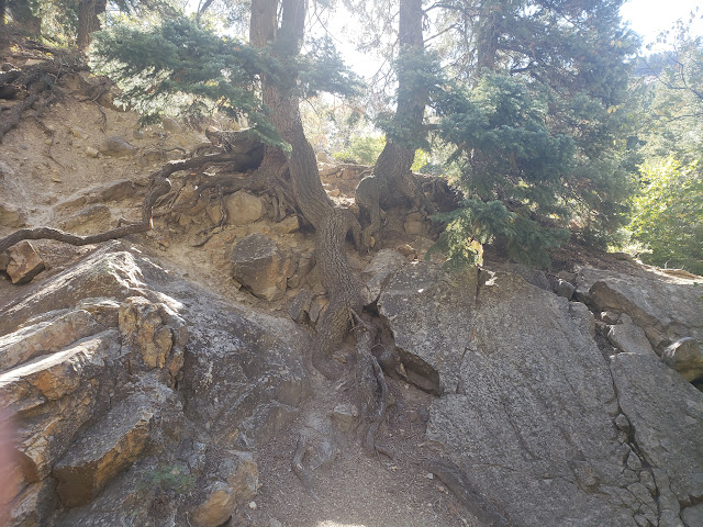
This was an interesting tree.


Another view of the river.


The trail ended and this is where we turned around. 
An adventurous soul could go further but it would take some scrambling.


September 26, 2024 Willow Lake Hike, Big Cottonwood Canyon

Willow Lake Hike

hikers:  Mark & Lecia

distance: 2 and a half miles

elevation gain:  562 feet

We did this on a Thursday morning.  There were people on the trail and lots of cars at the trailhead but still room to park.  You park along the road for this hike.  It is not a long hike but there is over 5 hundred feet elevation gain so a lot of it is steep.

Here is the map of where we went.

We started at this marker on the north side of the road.  It is a ways above donut falls and you just have to watch for this on the north side of the road.  It is after mile most 13 and there are cars parked along the road.


Here is the trail.  A lot of it is shady.


You'll see this and know you are on the trail!


There are some stream crossings.  


Here is another one.


After a while you arrive at Willow Lake.


There were some beautiful fall aspens, and lots of beautiful aspens that were still green!

The colors on the ground were changing too.


If you look at the map you can see we did a loop.  
You don't have to do a loop but this is where we joined back on the trail.  By then we were almost back at the beginning.  This is a really nice hike in spring, summer, or fall. 


Monday, September 2, 2024

September 2, 2024 Labor Day Urban Hike at Red Butte Garden

 Red Butte Garden

Urban Hike

hikers:  mark and lecia

distance:  2.42 miles

elevation gain:  534 ft.

It was a free day at Red Butte Garden so we decided to go explore.  We had never been on the trails and didn't even know what was there beyond the paved garden areas.

We took the outer trail all the way around, including a detour to the stone house.  The trail is labeled as Zeke's trail on this map. 


Onward and Upward.

View of Salt Lake


The stone house.   
This is where they used to quarry red sandstone for homes, buildings at Ft. Douglas and the Salt Lake Temple.  The sandstone was torn out and replaced with granite before the temple was actually built.


This was on the way down when we were next to the stream.  
You can't see it but we could hear it!  It was so pleasant and pretty.


After the hike we took some time to walk around the gardens.


Saturday, August 10, 2024 THE GROTTO

 The Grotto

in Payson Canyon

hikers:  2 littles, 5 bigs

Only .65 miles round trip and it only took 17 minutes of hiking.

This is a fun, little hike that is not too hard for kids but with some stream crossings and a log for a bridge, so you know it is a hike.  

We were on our way home from Payson Lakes.  It wouldn't be worth the drive from our house just for the hike, but we were in the neighborhood. 


Payson Lake

Luckily there was parking when we got to the Grotto trailhead. Everyone cooperated for a photo!


Not hard, but not a walk in the park either.


The Grotto.  I think it is really cool!, but it was very crowded, including a mermaid having a photo shoot.  We didn't stay long  but started on our way back  down, walking thru the stream. 


If you are in Payson Canyon and driving by this is definitely worth a stop.  It didn't take long and for the amount of effort you get a fun hike and cool destination!


Friday, August 2, 2024 Cecret Lake from Alta Ski Resort

 Cecret Lake

hikers:  Mark and Lecia

distance:  5.3 miles

elevation gain:  1,211 feet


We parked in the parking lot, just before the tollbooth that goes up the canyon.  

This is where we started the hike.


Before we went too far we spotted a moose.  Other people on the trail were stopped and pointing their cameras so it was easy to know it was there.  


There were a lot of wildflowers out but it wasn't the peak of their blooming.  


lupine and Indian paintbrush

lupine

wild geranium - sticky purple geranium

Engelmann Aster

Indian paintbrush


After passing the meadow of wildflowers, this is the place to go left if you want to go the the Albion Basin campground area and the Cecret lake trailhead and parking. 

 
Last time we took the utility road to the right.  Less crowded, steeper, and further on you need to go thru the trees a short distance to get on the Cecret lake trail.


                                                       We saw a patch of snow.


Then we walked on this boardwalk for  a ways,

and saw signs that it is indeed a ski resort. 

 Here is the beginning of the trail to Cecret Lake.  There was lots of photography happening so it wasn't easy to get this picture with no one in it!


There were a few wet areas like this one to cross.


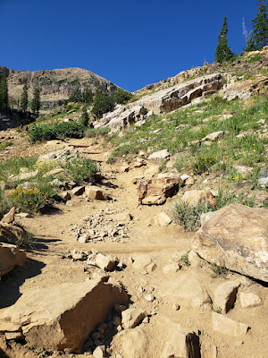
The last part of the hike is the steepest.


But if you keep going you are at the lake!  It is beautiful and this time we walked all the way around it.  This was our first time to do that!


Then we headed back down again.


Doing the hike from Alta ski resort allows you to see the meadow, adds a couple miles to to the journey, and saves a toll and there is a lot more parking available!