Hickman Bridge
According to the information we picked up at the visitor's center this hike is rated as moderate, is .9 miles one way, of course that means it is nearly 2 miles since you aren't just going to go to the natural bridge and stay, you've got to go back!, and has an elevation gain of 400 feet. That is why it is in the moderate category.
This is a hike that we did when we here here a couple of years ago in November, but it is convenient and pretty and was worth repeating. This is where you start. It is a well traveled trail, lots of hikers here.
Here is a map of a large area and you can see the trail to the Hickman bridge is a short one! It is on the top right quadrant of the map.
There are stairs you climb. And switchbacks that give you that elevation gain.
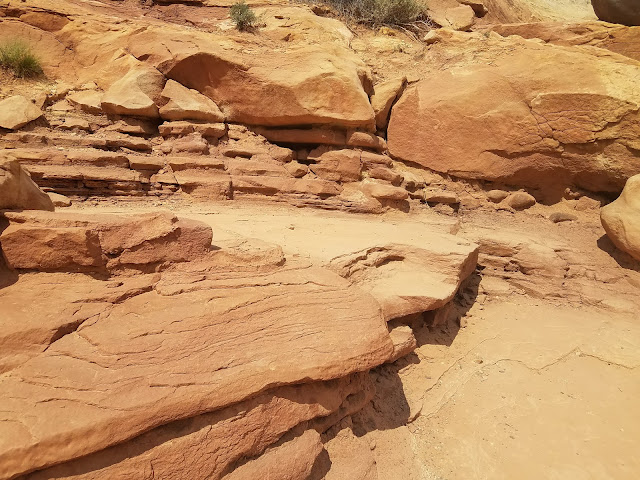
There are interesting rocks, that make you puzzle over the geology of this area.
A survey marker.
It was completely dry while we were there but there had been rain in the previous weeks and we saw this little puddle.
Here is the natural bridge!
And here we are while a nice person took a picture of us. I don't know why it looks like we are leaning and about to tip over. optical illusion! We were just standing there.
A view looking down into the valley.
Some of the vegetation.
I thought this was interesting rock at the base of this mountain.
Here it is up close!
Thanks to the CCC (Civilian Conservation Corps) workers
for all they did back in the day to improve the trails here!


No comments:
Post a Comment