Tuesday, August 3, 2021

 June 24, 2021

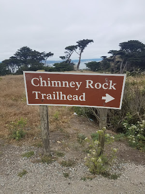
Chimney Rock Hike at Point Reyes National Seashore

hikers:  Mark and Lecia

distance:  1.7 miles out and back

difficulty: easy since it is short and pretty flat.


The Chimney Rock hike is the short line marked in yellow.  It was about a 45 minute drive from the visitor center and the trail sits on the very eastern point of Point Reyes. It's quite remote but there is a house near the trailhead!  There are some ranches in that area of Point Reyes.  


f


You don't get lost on this trail although there are opportunities to stray as you will see later.


The historic Chimney Rock lifeboat station as seen from the trail above, since we didn't walk down there.  


There are a lot of trails that leave the main trail and go closer to the edge of the cliffs above the ocean.  We saw people on some of these trails.  


They are all marked with a sign that declares they are unauthorized trails.  They obviously feel a need to put up warning signs.  hmmm. 

These are the kinds of view of the ocean you get from this peninsula.


Some kind of survey marker.


You can see that it was windy up on this peninsula above the ocean.


The view at the tip!


One really cool thing about this hike was the wildlife we saw.  Mark heard an owl and we were able to spot him in some trees.  There aren't many trees on most of the hike but there several near the house I mentioned earlier.  

I have never seen an owl in the wild and it was quite amazing!


Not too far from the Chimney Rock parking lot is a trail that goes to  a colony or community, whatever it is you call a lot of elephant seals!  The trail was closed this time of year, but we were able to see them from a distance.  Some other tourists pointed them out to us or we might have missed them.  This photo is really zoomed in .  If you watched closely you could see them moving and then you knew it wasn't just rocks!


 June 24, 2021

Limantour Beach

At Point Reyes National Seashore: 

from youth hostel on coast trail to the beach and back on Muddy Hollow Trail.


hikers:  Mark and Lecia

distance: about a 4.9 mile loop and 200 feet of elevation drop and then gain.


We parked near the hostel and headed down the Coast Trail, which is really a road.  You can park near Limantour beach if you don't want to hike.  But hiking is our thing and part of the adventure.  Here is a map with our hike in orange


This was the start of the coastal trail, just across the road from the hostel.


Besides the deer we saw other hikers going both directions but it wasn't busy.  When we got to the beach, it
 was pretty secluded.   It was the south end of Limantour Beach or maybe the Santa Maria Beach.  At least that is what I think after looking at the map afterwards.  While we were enjoying the view and the loudness of the waves, I didn't even know there was more than one beach, since it is all connected. I didn't realize how long of a beach it is.


It was very pleasant and we had a log to sit on and eat our picnic lunch from Subway.  It was an enjoyable place to spend some time and we were mostly by ourselves.  The sand was crusty and you could pick up a piece.  


When we were ready to go back we went on over to Limantour beach.  


This is the sign as you are heading to Limantour beach from the parking lot.  You also cross this bridge going from the parking lot to the beach.  


And there are restrooms here.  

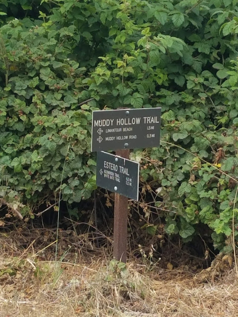
But instead of going to the parking lot we took the Muddy Hollow Trail. 


This trail was very pretty.  


Prettiest dandelions I've ever seen!


After a while you leave the open areas and are in shady paths. 
 We saw beautiful wildflowers and lots of quail, the California State bird!


The muddy hollow trail connects to the muddy hollow road, as you can see 
on the map, and that crosses Limantour Road and you are back to the hostel!